Muong Thanh field
About Muong Thanh Field

Muong Thanh field
Bien Dien Bien is located in the northwest of Vietnam. Where there is vast Muong Thanh field, Nam Rom river is always full of alluvium, Dien Bien basin is famous and has a heroic history page about Dien Bien Phu victory “illustrious in five continents”.
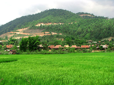
Muong Thanh field
The name Dien Bien was given by King Thieu Tri in 1841 from Ninh Bien province; Dien means solid, Bien means border area. Dien Bien Phu (ie, Dien Bien Phu) during Thieu Tri’s period consisted of 3 continents: Ninh Bien (under the management cum government, that is, the tri government cum management of the province), Tuan Giao, and Lai Chau.
This is the largest mountain plain in northwest Vietnam with an ancient oral tradition: “Nhat Thanh (Muong Thanh – Dien Bien Phu), Nhi Lo (Muong Lo – Yen Bai), tam Than (Muong Than – Lai). Chau), Tu Tac (Muong Tac – Son La) to talk about the 4 most abundant and delicious rice granaries in the Northwest.
Vast fields
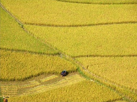
Muong Thanh field in the harvest season

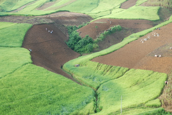
Taking care of rice in the fields of Muong Thanh
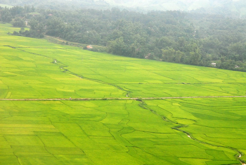
Paddy fields around Muong Thanh fields

The terraced fields create a beautiful picture of nature

Harvesting rice in the fields of Muong Thanh
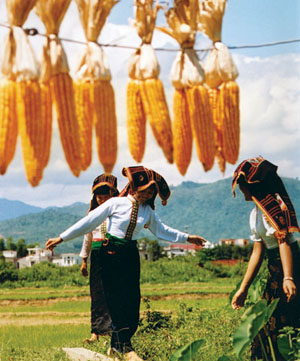
Muong girl
Coming to the land of Dien Bien, we not only discover the immense nature but also see the heroism of our ancestors.
Dien Bien Phu – the place that marked a stage of the nation’s heroic history with the battle of Dien Bien Phu in 1945 between the Viet Minh army and the French army. National history will gradually appear in each of us when visiting General De Castries’s Base, Muong Thanh Airport, Him Lam Fort, Ban Keo, Doc Lap Hill, Hill A1, C1, C2, D1, Museum Dien Bien Phu victory, a cluster of monuments pulling artillery into Dien Bien Phu… and a green stone relief showing the entire historical Dien Bien Phu campaign.
The Vietnamese victory flag flutters on the roof of General De Castries’ Command Tunnel
Dien Bien is a picture drawn by nature that we cannot ignore. Coming to Dien Bien is coming to Nature, returning to visit a historical region. Perhaps, on the journey back to Dien Bien, they should bring pen and paper to record the heroic History of the Nation and then share that experience with those who have not been here.
Source: Collected internet.